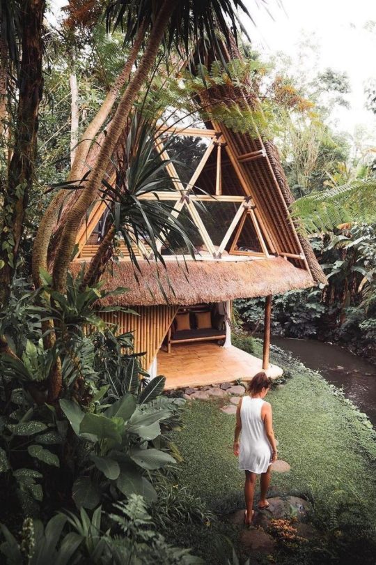
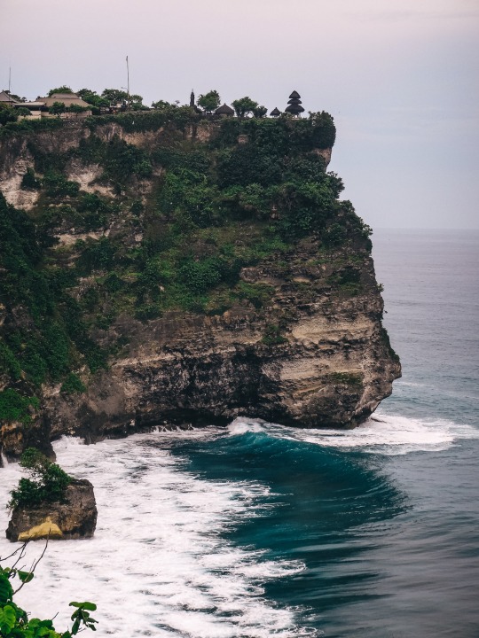
#baliisland
Text

Indonesia, 2022
#indonesia#baliisland#35mm photography#portra 800#35mm film#film photography#filmcommunity#filmisnotdead#canoncamera#photography#travel photography#photoart#photooftheday
157 notes
·
View notes
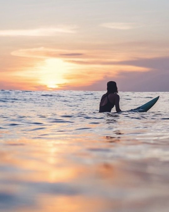
Photo

Some of our favorite views 🌊🌴 #wanderlust #bali #visitbali #beach #beachvibes #balilife #baliisland #surf #surfing #surflife #palm #palms #palmtrees #sunset #sunsetlovers #sunsetphotography #sunsetlover #sunsets https://www.instagram.com/p/CorzXtGJp9M/?igshid=NGJjMDIxMWI=
#wanderlust#bali#visitbali#beach#beachvibes#balilife#baliisland#surf#surfing#surflife#palm#palms#palmtrees#sunset#sunsetlovers#sunsetphotography#sunsetlover#sunsets
16 notes
·
View notes
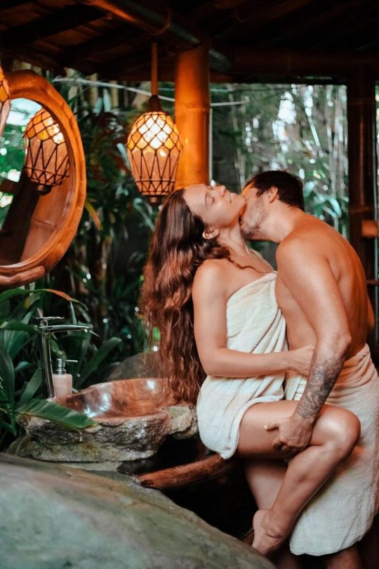
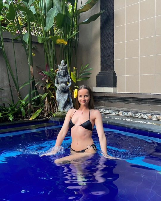
Text

having shower in Bali 🌿
#girl#me#travelling#selfie#portrait#blonde#travel#vacation#vacay#love#body#balilife#bali#balitravel#baliisland#balivilla
42 notes
·
View notes
Text
Superbe greens 🌴🌿🐸🦎🐍💚
64 notes
·
View notes
Text


#indonesia#jakarta#bali#denpasarviral#balilife#infodenpasar#baliisland#travelingindonesia#travelosoul#baliwedding#beautifulindonesia#balitravel#BUMNuntukIndonesia#wedding#travelphotography#luxury#vacation#beautifuldestinations#hotel#honeymoon#travel
40 notes
·
View notes
Text
Bali, Indonesia 📍
• follow for daily travel inspiration ✨️
• 📸 by - Dika Pebriyanta
• visit my travel blog 🎒 - link in bio

8 notes
·
View notes
Text
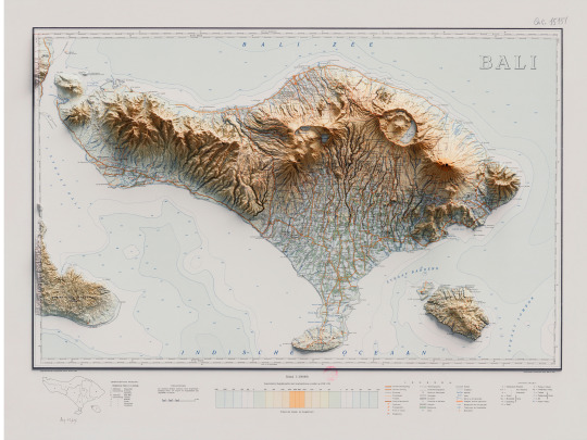


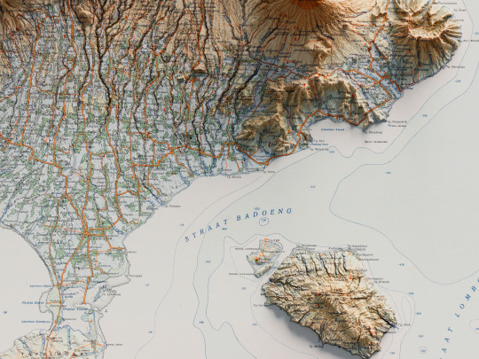
A few months ago we had the opportunity to make this topographic map of Bali from 1935 published by Reproductiebedrijj Topografische dienst (Batavia). We love the colors of the terrain and the bathymetric lines.
Gallica is a fantastic resource and also the National Library of France, with their Cartes et Plans department. They do a fantastic job of digitalization. The DEM come from the AW3D30 project, in this case.
We are thinking of doing a bathymetric version as well. What do you think? Would you like to see some other places in Indonesia mapped?
If you like our work, want to see our daily updates (or want to say hello to our studio), consider to follow our Instagram or Twitter account. Otherwise if are interested in our prints or have a custom request check our shop.
#maps#bali#balitravel#balitour#balilife#baliisland#baliindonesia#b3d#geographic#cartography#mapart#mapping#dataviz#datavisualization#3dmap#blender3d#blenderart#reliefmap#digitaldesign#indonesiatravel#indonesia
7 notes
·
View notes
Text
instagram
3 notes
·
View notes


Text

Mommy and baby
#mom and baby#baby monkey#monkey#nature#animals#wildlife#bali#baliisland#explore bali#indonesia#uluwatutemple#uluwatu#asia#south east asia#cute animals
9 notes
·
View notes
Text
Now you can come with us to feeling Waves 🌊 🏄♂️ 🏝️ 🎶
youtube
#youtube#curators#forza horizon#music#musica#need for speed#new post#phonk mix#tokyo drift#autorias#chill music#electronic music#music love hiphop rap art musician artist musica instagood singer instagram dj follow rock like dance guitar s photography song bhfyp newmus#mumu rp#musician#musicproducer#mumbai#elon musk#baliindonesia#baliisland#islamdaily#black is beautiful#illustration#music love hiphop rap art musician artist musica instagood singer instagram dj follow rock like dance guitar s photography song bhfyp newmu#island#travel#chill beats
3 notes
·
View notes
Photo
Sunday funday 🌞🌊🌴 #wanderlust #bali #visitbali #beach #beachvibes #balilife #baliisland #surf #surfing #surflife #palm #palms #palmtrees #sunset #sunsetlovers #sunsetphotography #sunsetlover #sunsets https://www.instagram.com/p/CpZeE2UJ75r/?igshid=NGJjMDIxMWI=
#wanderlust#bali#visitbali#beach#beachvibes#balilife#baliisland#surf#surfing#surflife#palm#palms#palmtrees#sunset#sunsetlovers#sunsetphotography#sunsetlover#sunsets
10 notes
·
View notes
Text
#girl#me#travelling#selfie#portrait#blonde#travel#vacation#vacay#polska#bali#baliisland#balitravel#balilife
43 notes
·
View notes
Text
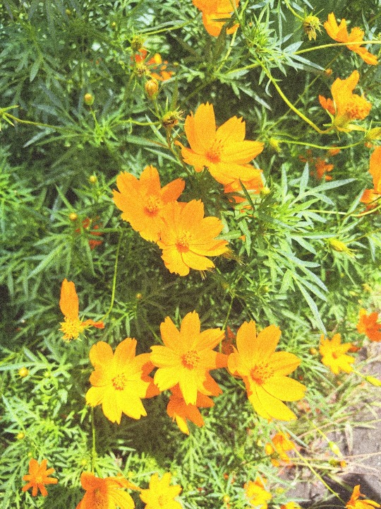
#wildflowers#baliisland#bali#burntorange#rare marigold#flowers#orange flowers#indonesia#balilife#smile :)
5 notes
·
View notes
Text
If you love Bali. Believe in its mysteries, or just want to understand why it is such a magical place, visited by millions every year. Read this book to understand why they have hung onto their culture against all odds.
#books#art#booksbooksbooks#book recommendations#bookstagram#author#bali🌴#baliindonesia#baliguide#baliisland#balilife#Spotify
5 notes
·
View notes
Last Seen Blogs


gurjarblog-blog
Gurjarblog

femboy-armin
𝐓𝐎𝐀𝐒𝐓𝐘

noctualunaris
blooming in the night

pacificadistro
Pacifica Distro