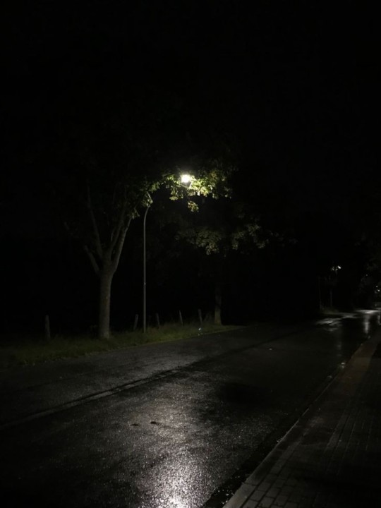
#empty street
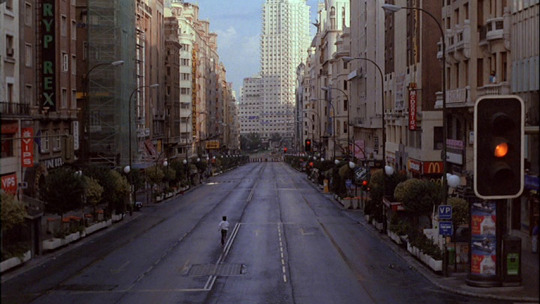
Text
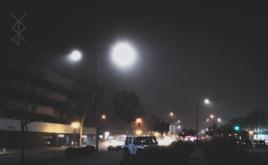
a slow walk
instagram / flickr
#photography#night#night time#night photography#cold#empty streets#empty street#street photography#lamp post#bright#colors#fog#foggy#misty#mist#canon#canon rebel t7#canon eos#canon photography#canon t7#rebel t7#original photography#original photographers#photographers on tumblr#original photography on tumblr#photography on tumblr
12 notes
·
View notes
Text
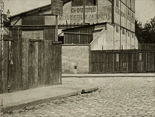
L'Enfant sur la barricade |1906|
#gif#L'Enfant sur la barricade#on the barricade#1906#alice guy blaché#alice guy#silent film#empty street#france
20 notes
·
View notes
Text

Darmstädter Landstraße, Sachsenhausen, Frankfurt am Main, 2023
#tobias bruns#photographers on tumblr#original photographers#frankfurt#urban landscape#black and white photography#street photography#urban photography#frankfurt am main#sachsenhausen#empty street
9 notes
·
View notes
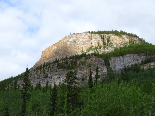
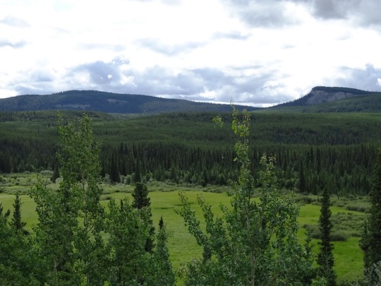
Text
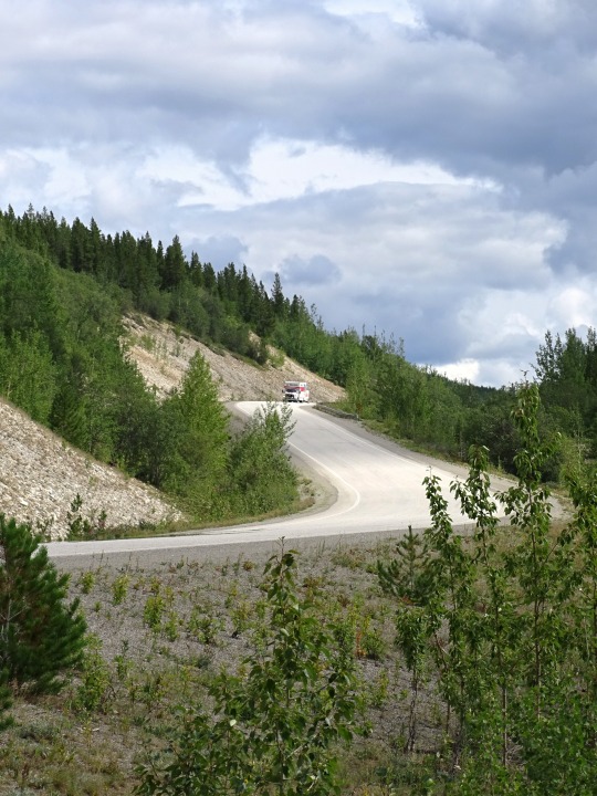
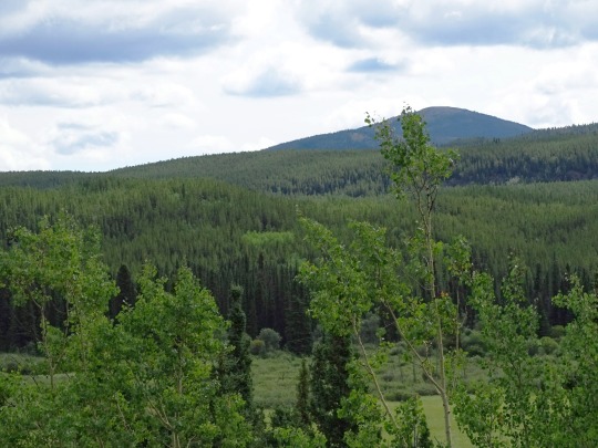
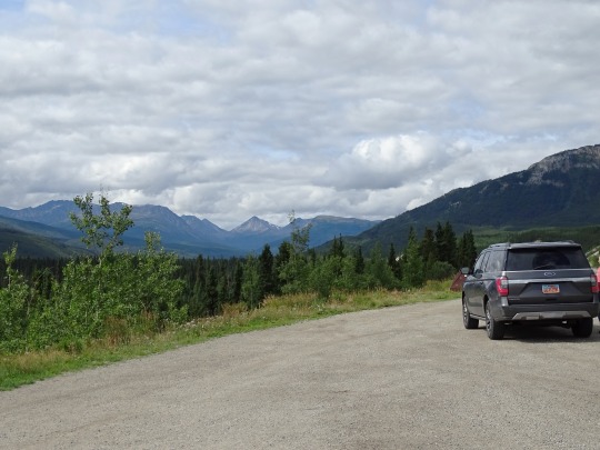
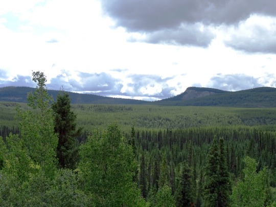
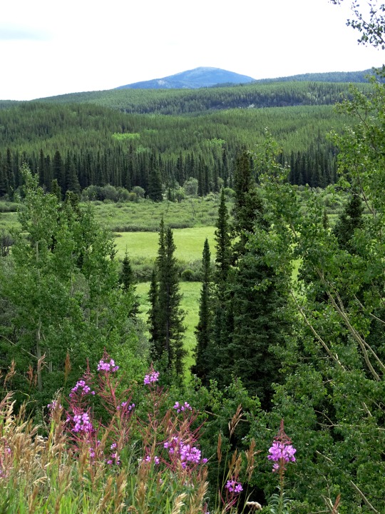
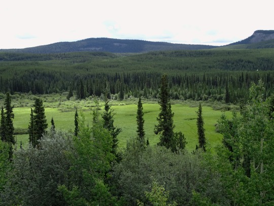
From Watson Lake to Whitehorse (No. 3)
Proposals for a highway to Alaska originated in the 1920s. Thomas MacDonald, director of the U.S. Bureau of Public Roads, dreamed of an international highway spanning the United States and Canada. In order to promote the highway, in 1933 Slim Williams originally traveled the proposed route by dogsled. Since much of the route would pass through Canada, support from the Canadian government was crucial. However, the Canadian government perceived no value in putting up the required funds to build the road, since the only part of Canada that would benefit was not more than a few thousand people in Yukon.
In 1929, the British Columbia government proposed a highway to Alaska to encourage economic development and tourism. American President Herbert Hoover appointed a board with American and three Canadian members to evaluate the idea. Its 1931 report supported the idea for economic reasons, but both American and Canadian members recognized that a highway would benefit the American military in Alaska. In 1933, the joint commission proposed the U.S. government contribute $2 million of the capital cost, with the $12 million balance borne by the Canadian and BC governments. The Great Depression and the Canadian government's lack of support caused the project to not proceed.
Source: Wikipedia
#Alaska Highway#travel#original photography#vacation#tourist attraction#landmark#landscape#countryside#view#meadow#moutains#Yukon#the North#Canada#summer 2023#ALCAN Highway#Alaska-Canadian Highway#street scene#road trip#empty street#woods#forest#flora#wildflower#nature#clouds#fireweed#rental car#Ford Expedition
2 notes
·
View notes
Text
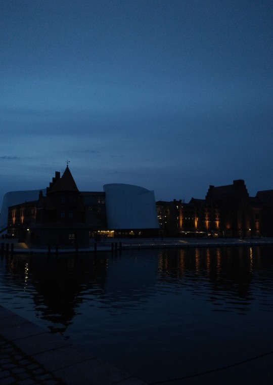
#late at night#winter heat#empty street#strolling#far away#old and new embracing#stunning#harbour#cold water#city lights
6 notes
·
View notes
Text
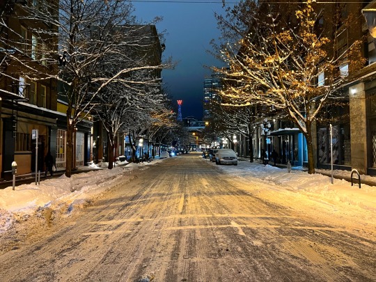
Empty streets of snow.
#snowy#winter#empty street#Vancouver#604#downtown#snow#wintertime#cold#chilly#Vancouver bc#vancity#empty streets#quiet#yvr#nighttime#snowfall#Spotify
11 notes
·
View notes
Text
16 notes
·
View notes
Text
#Empty Street#Empty Street Letariss Nakki#Dark#music album dark#Empty Street Letariss Nakki DarkEmpty Street Letariss Nakki Dark#music#letariss nakki
18 notes
·
View notes
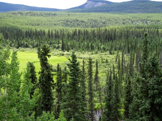
Photo

07.2019 Manacor
36 notes
·
View notes
Text

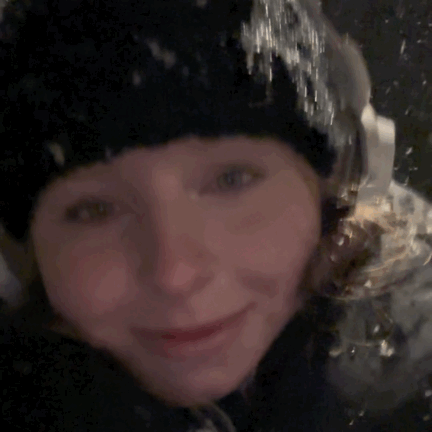
❄️Guess the song 🎧
#wunderschoeneluege#me#snow#sign#main character#moment#music#playing#it’s starts to snow#empty street#peaceful#no men 👌#after cinema#felt nice#no friends#selfie#happy
4 notes
·
View notes
Text
mandhalor asked:
“it’s not safe to stay out here in the open.”
Lost Meme -- @mandhalor
Nico’s eyes flicked to the visored helm of his guardian before, an annoyed expression darting across his brows before he nodded once. Where the Mandalorian had experience, Nico could sense something was strong. The streets of the bustling metropolis had stilled, tension singing through the air like a wire. Even if it was in the middle of the planet’s night, Nico knew that this place should be much more active than this.
Grunting once, he tucked his outer robe tighter around him, trying to hide his form as best as he could. “Okay, let’s make it quick then.”
They’d left Grogu to watch the Razorcrest. Hopefully the little guy would be alright in there alone for the moment and he wouldn’t eat anything too weird.
#mandhalor#☠ ▌ five thousand attack points ( ask meme reply. )#☠ ▌ far far away ( star wars au. )#empty street#the vibes of this one are coruscant slum but??? it could be anywhere
0 notes
Text

None less
instagram / flickr
#photography#black and white photography#black and white#monochrome#clouds#cloudy#sunset#dark#darkness#gray#grey#empty streets#empty street#empty#street photography#street#canon#canon eos#canon rebel t7#canon photography#rebel t7#original photography#original photographers#photographers on tumblr#original photography on tumblr#photography on tumblr#palm tree
6 notes
·
View notes
Text
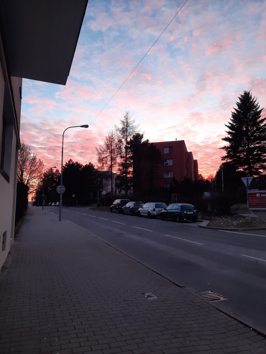
*Very pretty sunset*
1 note
·
View note
Photo

Fahrgasse, Innenstadt, 2023
#tobias bruns#photographers on tumblr#original photographers#frankfurt#Street Photography#urban landscape#urban photography#front#fahrgasse#empty street#black and white photography#b/w photography
3 notes
·
View notes
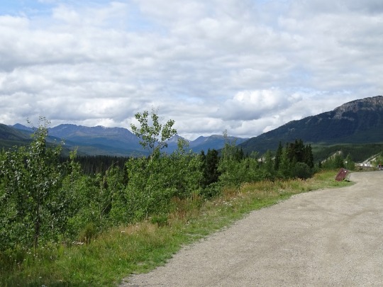
Text


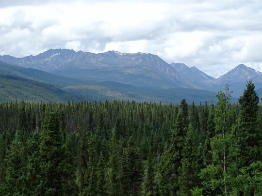
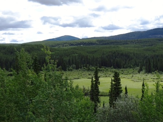

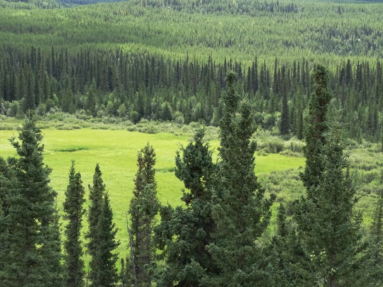
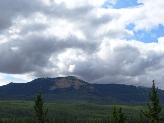
From Watson Lake to Whitehorse (No. 1)
The Alaska Highway (French: Route de l'Alaska; also known as the Alaskan Highway, Alaska-Canadian Highway, or ALCAN Highway) was constructed during World War II to connect the contiguous United States to Alaska across Canada. It begins at the junction with several Canadian highways in Dawson Creek, British Columbia, and runs to Delta Junction, Alaska, via Whitehorse, Yukon. When it was completed in 1942, it was about 2,700 kilometres (1,700 mi) long, but in 2012, it was only 2,232 km (1,387 mi). This is due to the realignments of the highway over the years, which has rerouted and straightened many sections. The highway opened to the public in 1948. Once legendary for being a rough, challenging drive, the highway is now paved over its entire length.[2] Its component highways are British Columbia Highway 97, Yukon Highway 1, and Alaska Route 2.
Source: Wikipedia
#Alaska Highway#travel#original photography#vacation#tourist attraction#landmark#landscape#countryside#view#meadow#moutains#Yukon#the North#Canada#summer 2023#ALCAN Highway#Alaska-Canadian Highway#street scene#road trip#empty street#bridge#woods#forest#flora#wildflower#nature#clouds
1 note
·
View note
Last Seen Blogs