#Stora Alvaret
Photo

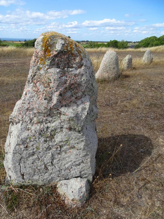
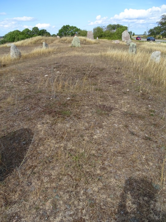
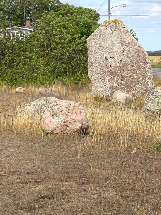
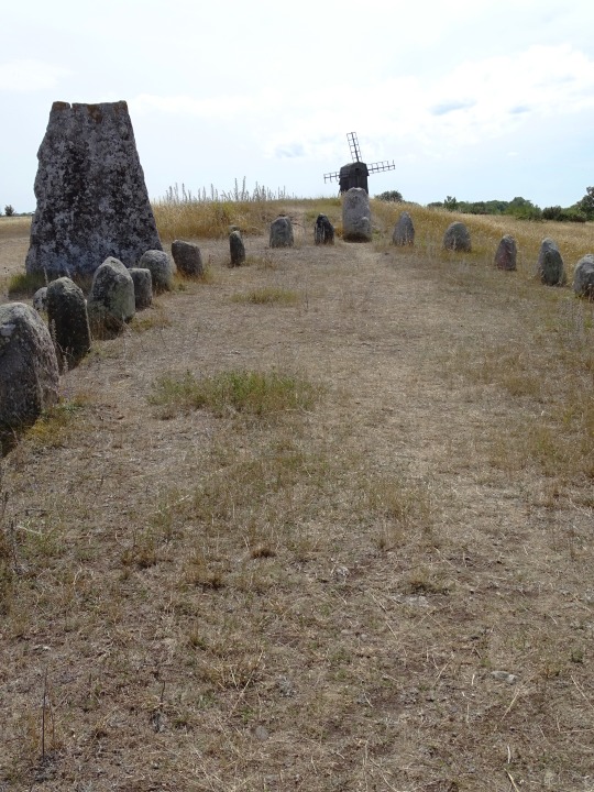
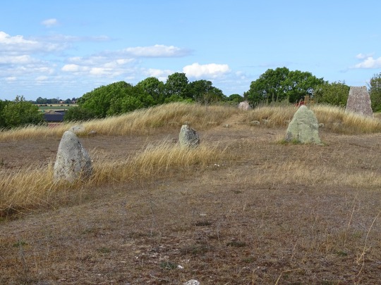


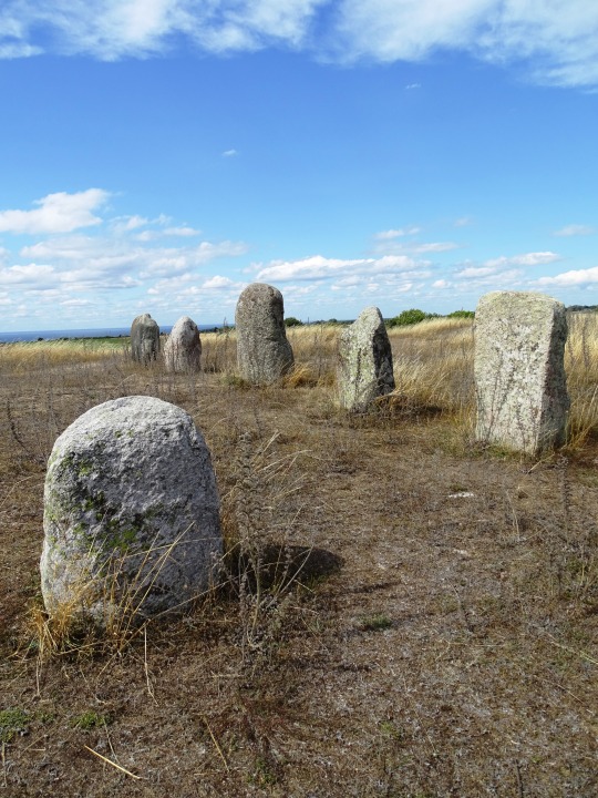

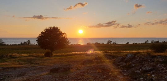
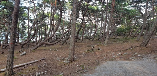
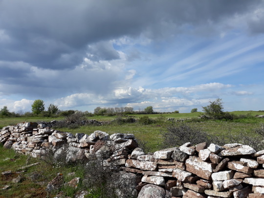
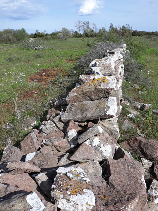
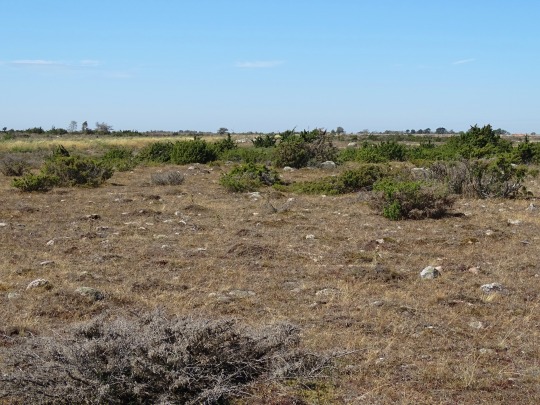
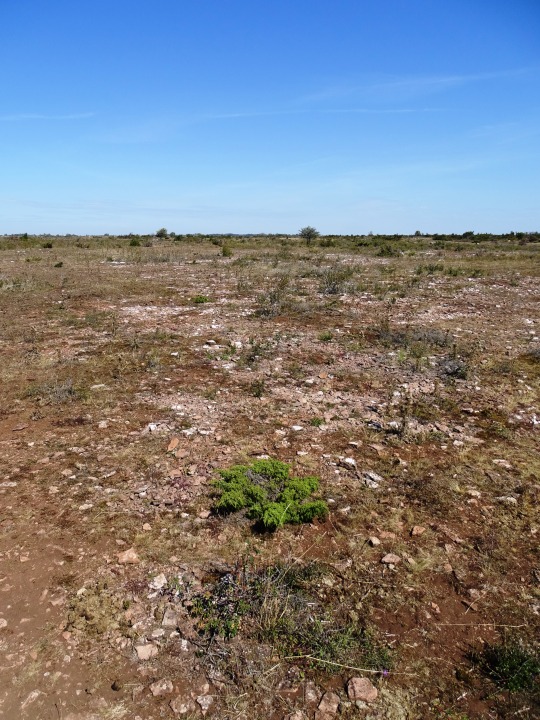
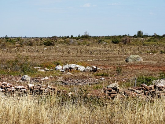
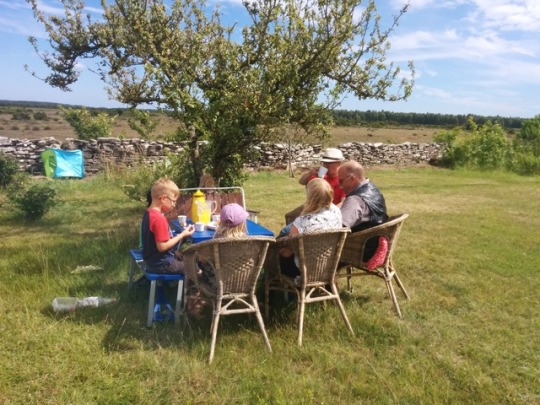
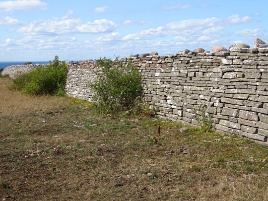
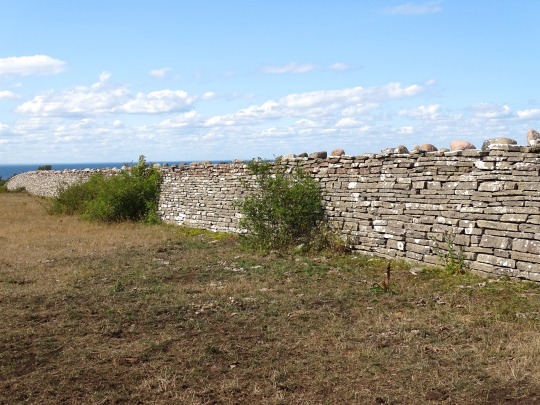
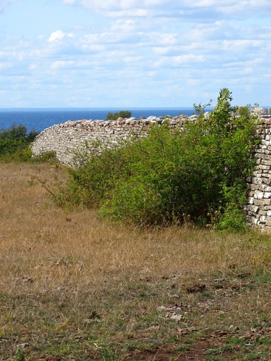
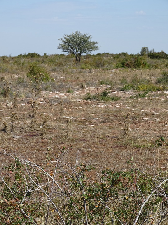
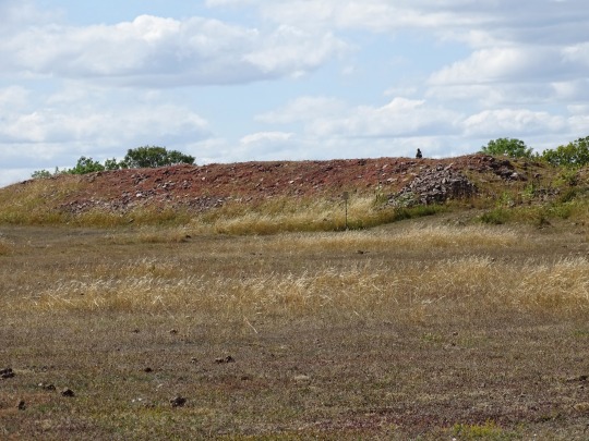
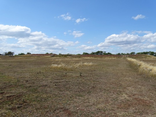
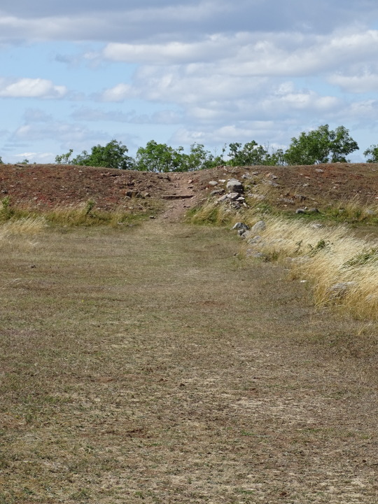
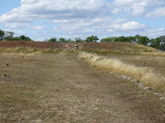
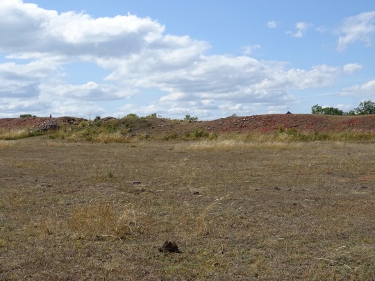
Grave Field Gettlinge, Sweden (No. 5)
Gettlinge burial ground is an ancient monument in Södra Möckleby parish on southern Öland. The burial ground is one of the largest on Öland, with a length of almost two kilometers. It is located along the island's western road between the villages of Gårdstorp, Gettlinge and Klinta.
The burial ground was described by historian Johannes Haquini Rhezelius in his "Monumenta runica", from 1634. He drew of the ship's setting in his travel diary. Carl Linnaeus examined a tomb in 1741. The landscape depicter Abraham Ahlqvist wrote about the place in 1825. He was particularly interested in the two three-metre-high stones in Klinta.
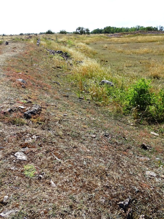
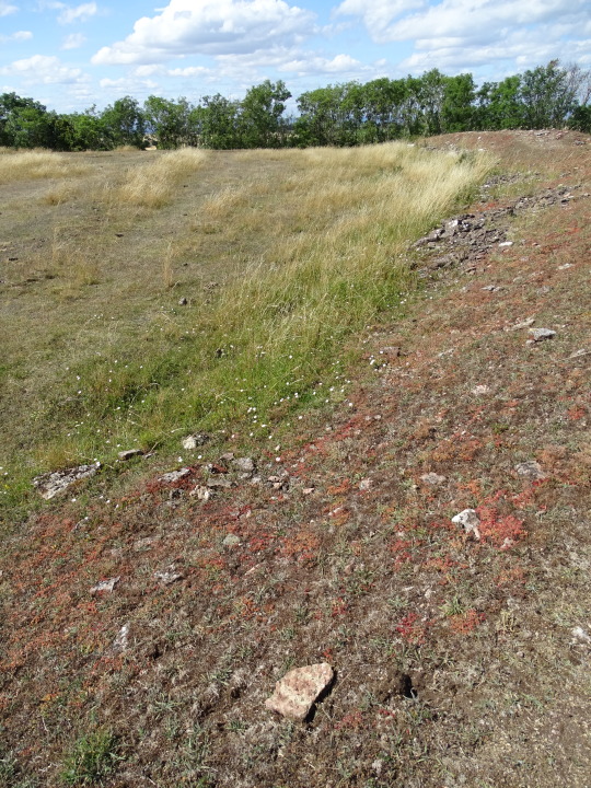
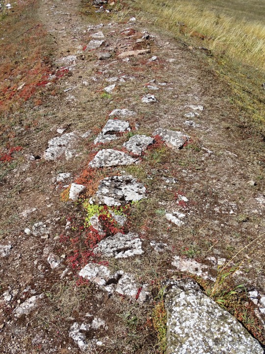
The line of prehistoric cultural remains begins north of Gettinge village. Many have been destroyed by quarries or by treasure seekers. In the burial ground there were about 250 graves. Today, more than 200 remain. Most of them are stone settings from the Late Bronze Age and Iron Age. In square or round stone circles, stone coffins with unburned skeletons have been found. The northern part of the field is most diverse. The large limestone slabs there have been erected to mark the significance of the site. On an impressive, 30-meter-long ship's settlement, which consists of 23 erected granite blocks next to each other, there are about twenty bowl pits. Bowl pits are a recurring motif on stones from the Bronze Age.
Around 1900, 15 graves were examined in Gettlinge. They were only men's graves, some contained weapons but most were looted. The best preserved tomb consisted of ten limestone slabs and a double layer of covering stones. The deceased had been laid in the grave along with his dog, two spears, a shield and spurs. This tomb form is from the first century after Christ. The burial ground was utilized for 2000 years from 1000 BC to 1050 AD.
On the west side of the island there are several burial grounds. The largest, with about 300 graves, is located in Ås at Ottenby. Another large field is located at Mysinge.
Source: Wikipedia
#Grave Field Gettlinge#Viking stone ship burial ground#Nordic Bronze Age#Route 136#Stora Alvaret#landscape#countryside#Kalmar Strait#Sweden#Kalmar County#stone#lichen#flora#meadow#original photography#travel#vacation#summer 2020#tourist attraction#landmark#free admission#Sverige#Scandinavia#Northern Europe#windmill#archaeology
27 notes
·
View notes
Text
Historic site of the week: Gettlinge
Gettlinge, a village in the southwest of Öland, Sweden, is renowned for its Viking stone ship burial ground, a part of the UNESCO-designated Stora Alvaret. The burial site, dating from 1000 BC to 1000 AD, features Bronze Age barrows and Viking stone ship burials, with some standing stones predating the Viking era, offering valuable insights into the region's ancient history.
0 notes
Text
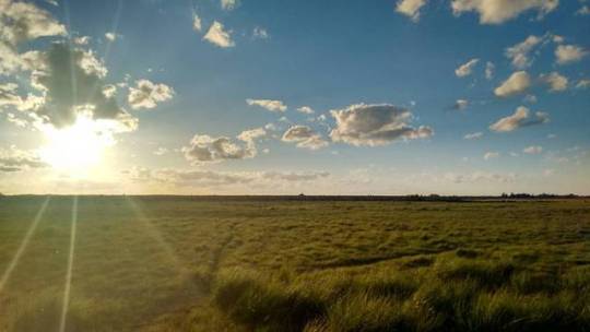
Welcome to Öland Sweden.
We have Stora Alvaret (The Big Serious)
A sparse limestone plains pretty much unique to Öland and Estonia
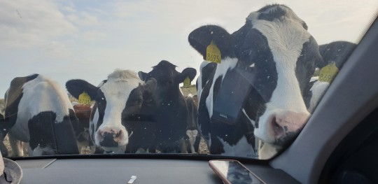
Surprise cow safari
They ate my rear view mirrors at 6 am
Beautiful views
I have never had a more relaxing pee
Beach salad
Fossiles
They're free if you can lift the 200 kg rocks they're stuck in

Trollskogen (The Troll Forest)
Cool trees
Ø Å K
T H Ë Ë T Ê Ř N Ã L
TREMBLE BEFORE ME MORTAL

A pile of rocks
Constructed and maintained by The Royal Society of Putting Things On Top of Other Things
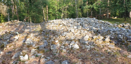
Enjoy your stay
0 notes
Text
December 18, 2019
#tiny#tinybitsknits#handwoven#weven#garen#öland#zweden#sweden#ullccentrum#stora alvaret#double weaving#dubbel weefsel#cadeau#shawl#warm#heel blij mee#wol
4 notes
·
View notes
Photo
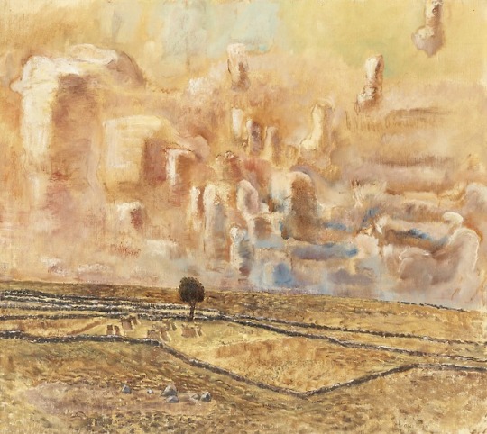
Vera Nilsson (1888 - 1979) - Tree on the Alvaret. Oil on canvas.
80 notes
·
View notes
Link
20 notes
·
View notes
Text
Werkserie Öland - A Sneak Peak
Werkserie Öland – A Sneak Peak
Bei meinem Schwedenaufenthalt im Mai/Juni diesen Jahres habe ich u.a. eine neue Öland-Serie begonnen. 2016 gab es schon einmal eine kleinformatige Öland-Serie von mir zu sehen, die sich ausschließlich auf das besondere Grün des Wassers bezog und mist Rosteffekten/ Oxidationseffekten entstand. (bitte auf der HP runterscrollen zur Ansicht.)
Nun wollte ich eine neue Serie kreieren in einem größeren…
View On WordPress
#abstrakte Malerei#Abstrakte Malerei kaufen#Öland#Öland Bilder#Duft nach Mai#Eindrücke#Immer wieder Flieder#Lyckesand#Manuela Mordhorst#Neptuni Akrar#Neptuns Acker#Neptuns Felder#Ostsee#Schweden#Stora Alvaret#Werkserie Öland
0 notes

Photo

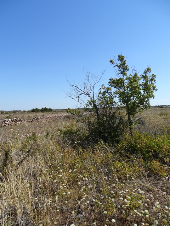
Stora Alvaret, Sweden (No. 1)
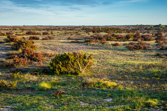
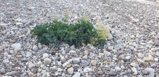
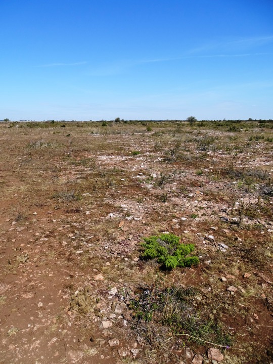
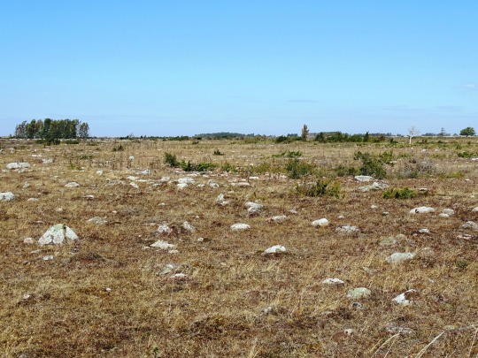
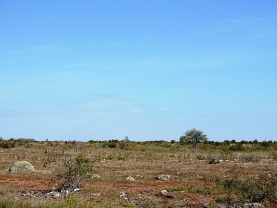
Stora Alvaret is an alvar, a barren limestone terrace, in the southern half of the island of Öland, Sweden. Stora Alvaret is a dagger shaped expanse almost 40 kilometres (25 mi) long and about 10 kilometres (6 mi) at the widest north end. The area of this formation exceeds 260 square kilometres (100 sq mi), making it the largest such expanse in Europe and comprising over one fourth of the land area of the island.
Because of the thin soil mantle and high pH levels, a great assortment of vegetation is found including numerous rare species. Stora Alvaret is not devoid of trees, contrary to a common misconception; in fact, it holds a variety of sparse stunted trees akin to a pygmy forest.
Stora Alvaret falls within UNESCO's Agricultural Landscape of Southern Öland, 56,323 hectares (217.46 sq mi), which was designated World Heritage Site due to its extraordinary prehistory.
The limestone plain was created by glacial action from earlier ice age advances. The limestone formation itself was created about 500 million years ago in more southerly seas. Gradually hardening into limestone and drifting northward, the limestone of Stora Alvaret contains a rich fossil record of some of the marine creatures who contributed to it. For example, orthoceratites are found in some of the present day structures on the island.
Only as recently as 11,000 years ago did the first portions of the island of Öland emerge from the Baltic Sea, after the overpressure of the last glaciers was relieved by melting. Over the next several thousand years, more ice melted and the first wave of large mammals including humans migrated across the ice bridge from the mainland. Finally a thin soil mantle (only two centimetres at the deepest) was formed by plant colonisation of the bare limestone and some wind driven deposition, to create the alvar formation of the present. In many places the limestone has no soil whatsoever upon it.
Source: Wikipedia
#Agricultural Landscape of Southern Öland#Stora Alvaret#landscape#travel#countryside#tourist attraction#landmark#UNESCO World Heritage List#Sweden#Sverige#Scandinavia#Northern Europe#summer 2020#vacation#flora#nature#rock#grass#Öland#Kalmar County#World Heritage Site#free admission#stone fence#barren limestone terrace#original photography
2 notes
·
View notes
Photo

Novembersolen lyser på stenmuren 🌞 (på/i Stora Alvaret) https://www.instagram.com/p/CH5g8XJpQQS/?igshid=h90d4efkr4cz
0 notes
Photo

Nike mår bättre! Hurra!!
Dagen började med en springtur över stora Alvaret till Penåsa. Alltid lika häpnande! Träffade även stora tjuren, som besviket nog var lugn som en filbunke, och alla kossorna! På vägen hem köpte jag jordgubbar som intogs vid en lugn frukosten.
Efter en sleepover med kusinerna hos farmor och farfar, kom alla barnen hit och har lekt hela dagen. Stora barnen bakade rulltårta. Fikan intogs vid det ÄNDA existerande trädet (typ) som finns på tomten. Idag är det varmt o härligt!
Det jobbas fibrilt på altanen. Även jag tänkte göra ett försök att och snickra lite, innan Nike skriker, -Mammaaaaa!!!
0 notes
Link
11 notes
·
View notes
Photo
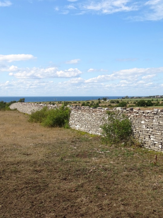
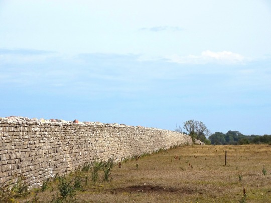
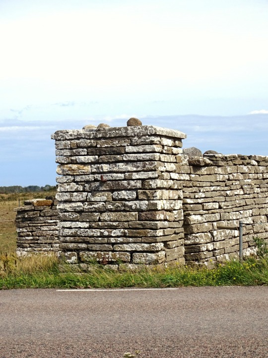

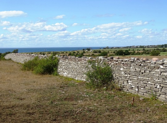
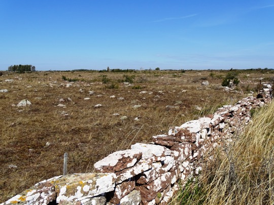
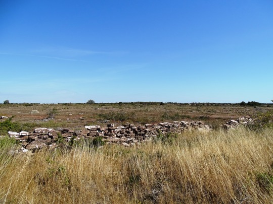
Carl X Gustav's Wall, Sweden
The massive stonewall, stretching straightforward between the two coasts of Öland, was built due the orders of Duke Karl Gustav, later King Karl X Gustav in 1653. The intention was to keep the deer in the royal hunting grounds from escaping them, although many speculate it served the double purpose of keeping the peasantry away from his sport. It was built with local materials and local labour in lieu of taxes. The surrealistic wall in open landscape is still in good condition.
Source
Karl X Gustafs Mur is a 4.5 kilometer long limestone wall that runs across the entire width of the island at the southern tip of Öland.
The somewhat strange-looking structure was built in 1653 at the behest of King Karl X Gustaf, to separate the grounds of the royal estate Ottenby on the southern tip of Öland from the rest of the island.
The Karl X Gustafs Mur was designed as a clear mark to show everyone where the royal territory began – certainly as a kind of oversized property wall. For its construction the tax farmers on the island were forced to community service, also prisoners were employed, whose prison sentences had been converted into compulsory labor.
Wild for the royal hunting was held on the grounds. This could not be prevented from escaping through the wall, but this was not necessary either. At that time the royal hunting law spread over the whole island – if the bounded area had definitely been too small for the royal hunting experience.
Source
#Carl X Gustav's Wall#stonewall#Swedish history#original photography#travel#landscape#countryside#Kalmar Strait#Kalmar County#Öland#Sweden#Sverige#archaeology#summer 2020#tourist attraction#landmark#nature#flora#meadow#Stora Alvaret#Route 136#Karl X Gustafs Mur#limestone wall#tree#Scandinavia#Northern Europe#Kalmarsund#Baltic Sea
5 notes
·
View notes
Photo
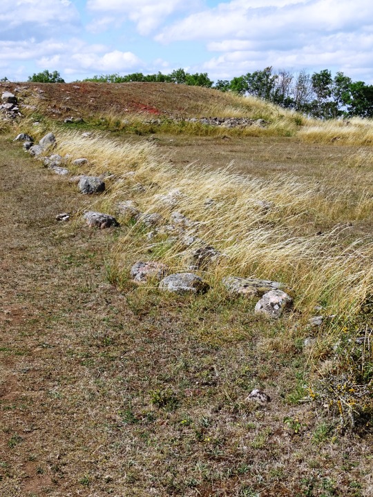

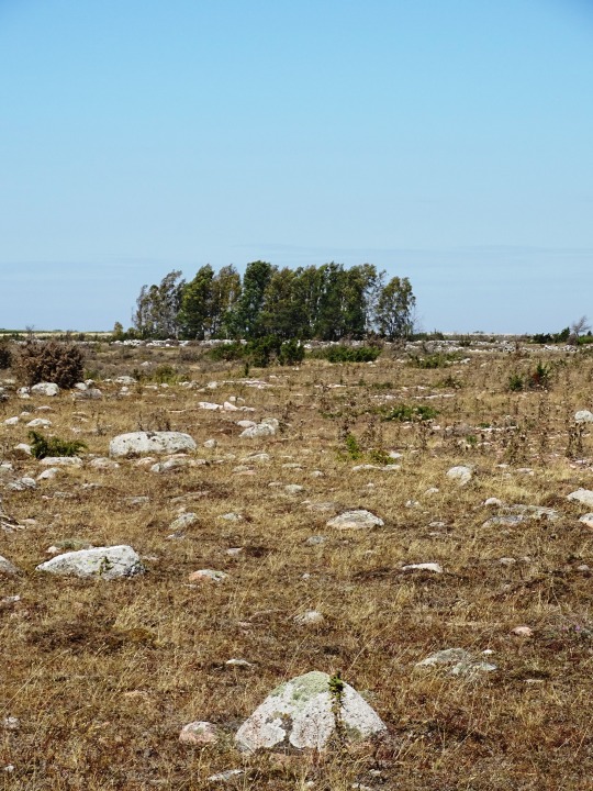
Träby Castle, Öland (No. 1)
Träby castle lies out on the Stora Alvaret, 700 meters north of Träby. The castle is one of the islands most peculiar castles.
Description
The castle is made out of three incorporated ring castles. The three ring castles inner diameter varies between 44 and 66 meters. The walls are partly in ruins, best preserved is the brickwork in the middle. The foundation, which is inside of the walls, is today barely seen. When Rhezelius visited the castle 1634 was the foundation distinct and he could count to 30 foundations in the northeast castle ring, 32 in the middle one and 14 in the southwest. The southwest castle lies in ruins after a homestead, Christineborg, which happened in the beginning of the 1800. After a couple of meters southeast from the castle is a grave field with almost 10 visible round stone settings.
Source
#Träby Castle#Stora Alvaret#Swedish history#archaeology#ruins#landscape#countryside#original photography#Kalmar County#Öland#Sweden#Sverige#summer 2020#tourist attraction#landmark#flora#meadow#tree#vacation#travel#Scandinavia#Northern Europe#stone#lichen
3 notes
·
View notes
Photo
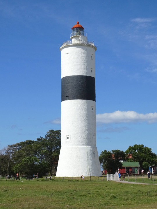
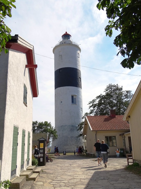


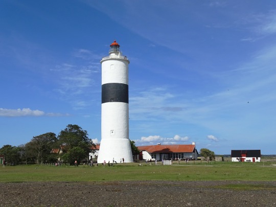
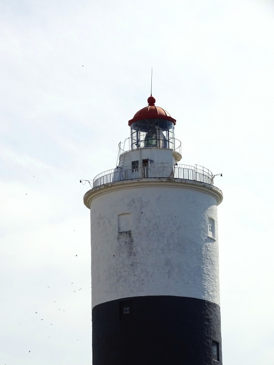

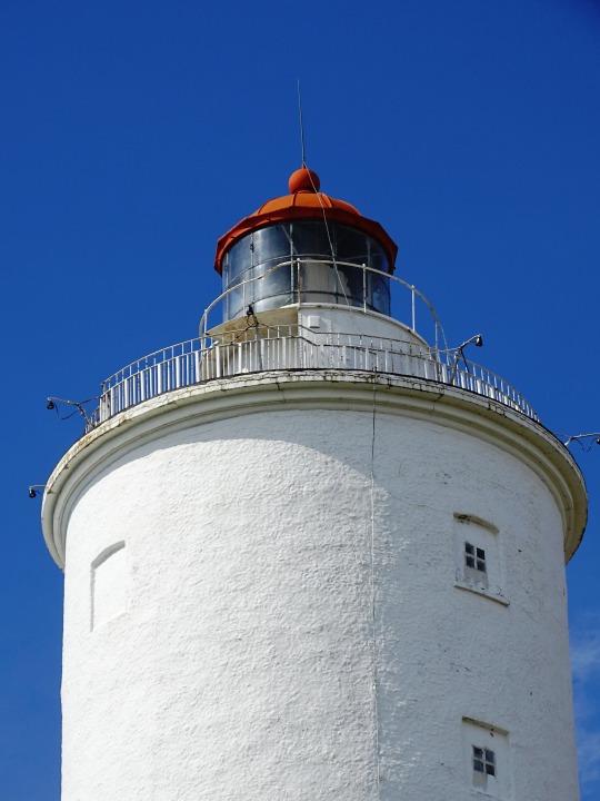
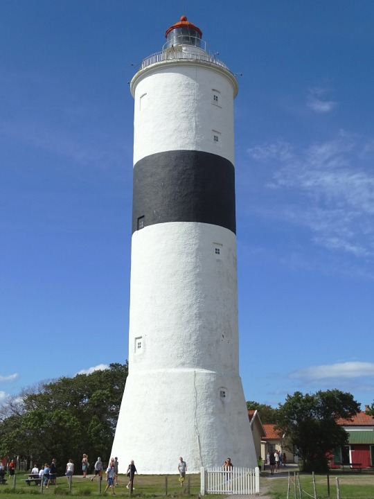
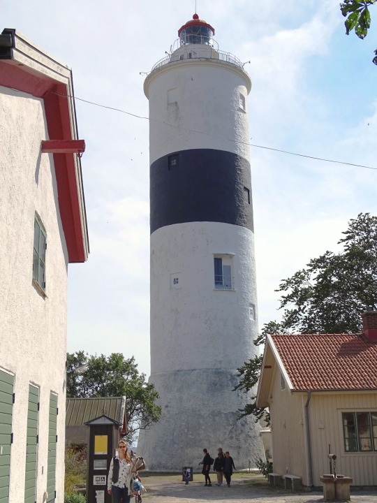
Långe Jan, Sweden (No. 1)
Långe Jan ("Tall John") is a Swedish lighthouse located at the south cape of Öland in the Baltic Sea, Sweden's second largest island. It is one of Sweden's most famous lighthouses along with Kullen, Vinga and Landsort, and also the tallest lighthouse in Sweden.
The lighthouse was built in 1785, probably by Russian prisoners of war. The tower was built of stone from an old chapel. Originally the light was an open fire, and the tower was unpainted. It was painted white in 1845, and the same year the tower's lantern was installed, to house a colza oil lamp. A couple of years later a black band was added to the tower.
The lighthouse remains in use and is remote-controlled by the Swedish Maritime Administration in Norrköping. During the summer season it is possible to climb the tower, for a small fee.
The buildings surrounding the tower form Ottenby birding station.
Source: Wikipedia
#Långe Jan#Tall John#Ottenby Nature Reserve#Mörbylånga Municipality#Kalmar County#Stora Alvaret#Ottenby birding station#architecture#travel#Öland#landscape#free admission#original photography#tourist attraction#flora#vacation#island#Sweden#Sverige#Scandinavia#Northern Europe#lighthouse#Sweden's highest lighthouse
2 notes
·
View notes
Last Seen Blogs

sammelassal
Said AMM ElaSSaL
torquetorque
We all have that one friend, who needs to learn to whisper.

alphaplumbers
Alpha Plumbers Fullerton

h4lf-d3a6
Noel

isabella-athena-blog
tale as old as time